As an Amazon Associate, I earn from qualifying purchases with no additional costs for you.
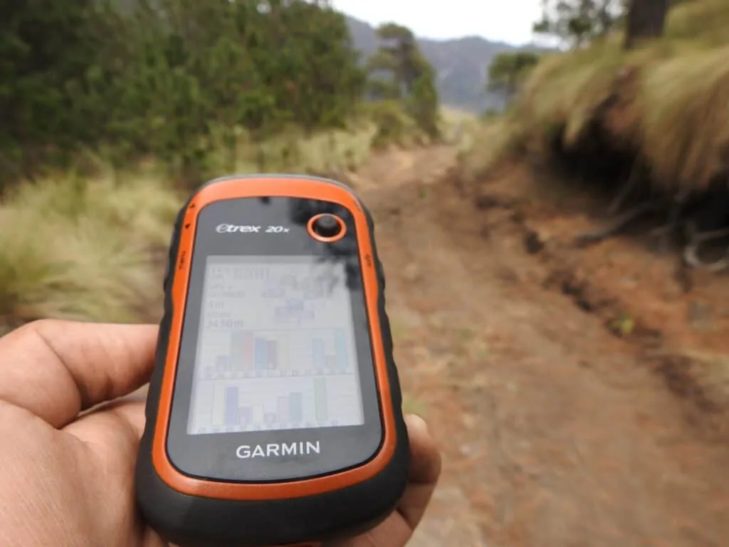
Rockhounding has become a beloved hobby for rock enthusiasts of all ages throughout the nation. It’s an activity that combines physical exercise with mental stimulation. To get started, you only need a nice day, a sturdy hiking backpack, a comfortable pair of hiking shoes or boots, a comprehensive guidebook, and a dependable GPS device to help you find the best rock-hunting locations.
The Garmin Oregon 750T (Amazon link) is widely considered the best GPS device for rockhounding, thanks to its advanced features that set it apart from other models on the market.
Handheld GPS devices have made remarkable strides in recent years. Let’s look closer at the Garmin Oregon 750T and compare it with two other popular models to demonstrate why it stands out as the best GPS for rockhounding. By examining its capabilities and advanced features, you’ll quickly understand why this GPS system is a true rockstar in the market.

If you want to check out the best GPS for rockhounding, you can find it here (Amazon link).
The Top Three GPS Devices for Outdoor Activities
There are a lot of GPS devices on the market with a wide array of capabilities and prices. Based on market research and product reviews, three devices are highly recommended for outdoor activities like rockhounding. They are (Amazon links):
Garmin Oregon 750T
The many virtual and physical features of the Garmin Oregon 750T (Amazon link) make it the best device for rockhounds. Its many capabilities enhance the experience of hunting for rocks, documenting interesting finds, and recording the whole adventure.
Physical Features of the Oregon 750T
This model has many great physical features, making it durable and user-friendly for outdoor activity. These features include:
- 3-inch screen
- Shaded relief
- An 8-megapixel autofocus camera with LED flash/TORCH
- Customizable buttons for 1-touch waypoint marking
- Reflective display technology for use in the sunlight
- The best readable touch screen on the market
- Impact-resistant screen body
- The state-of-the-art dual battery system
- Optional rechargeable NiMH pack (not included with the purchase of the device)
- Built-in 3-axis electronic compass with accelerometer tilt compensation to show where you are heading even when you are stationary or not holding it level
- A barometric altimeter tracks changes in pressure to pinpoint your precise altitude.
One of the benefits of the barometric altimeter is that it can be used to plot barometric pressure over time to track real-time changes in weather conditions.
The 8-megapixel autofocus camera allows users to take clear, detailed images of their geologic finds.
Virtual Capabilities of the Oregon 750T
The satellite, tracking, and software technology this GPS device offers is a must-have for “rock jocks” on the hunt.
The Oregon 750T is a high-sensitivity GPS, and GLONASS (Global Navigation Satellite System) provides real-time position and velocity determination (for military and civilian users).
GLONASS is the technology used by the Russian space program. It is a bit excessive for rockhounding but fun if unnecessary to use. However, it is recommended to stick with GNSS (Global Navigation Satellite System) when navigating:
- Mountains
- Cities
- Forests with a high density of trees.
This GPS system has a worldwide base map with political boundaries and major cities. Oregon 750T users can load TOPO U.S. 24K maps, add Trailhead Series TOPO maps, and explore such renowned treks as the Appalachian Trail and the Pacific Crest Trail.
The WASS (wide-area augmentation system) air navigation aid developed by the Federal Aviation Administration to augment the Global Positioning System (GPS)- improves the accuracy and integrity of tracking and positioning.
This feature also enhances the Garmin Oregon 750T’s (Amazon link) ability to maintain position in heavy cover and deep canyons for the most serious rockhounds.
Oregon also has the following capabilities:
- Holds up to 4 million images
- Downloads all caches on OpenCaching.com
- Loads cache from GSAK
- Filters caches by
- Size
- Terrain
- Difficulty
- Type
- Connects to chirp-enabled caches
- Records your logs in the field
All of these features allow you to chart your course and save your maps for future visits or to share with friends. Serious rockhounds will have the ability to save images and detailed information about each trek.
One of the benefits of the barometric altimeter is that it can be used to plot barometric pressure over time to track real-time changes in weather conditions.
Additional features and capabilities
This device allows you to share wirelessly. You can share:
- Waypoints
- Tracks
- Routes
- Photos
- Maps
The 750T geocaches are up to 50 times faster than other wireless-compatible Garmin handheld devices. Users can also add more maps and custom maps.
The plug-in BlueChart g2 includes preloaded cards for a day on the water. The City Navigator can be loaded to provide map data for turn-by-turn road routing.
All paperless geocaching gestures will be there for every cache.
This GPS system can display topographic map data in 2-D or 3-D on your computer screen. It includes contour lines and elevation profiles for an accurately detailed image.
BaseCamp software, which is free to use, allows you to organize the following features for your next rockhounding trip:
- Maps
- Waypoints
- Routes
- Tracks
Finally, the Oregon 750 device is outfitted with the Connect IQ Platform, making it Garmin’s first non-wearable device to include this feature. The Connect IQ Platform enables users to access to utilize more apps than ever before.
Check out the latest Garmin Oregon 750T prices on Amazon here (Amazon link).
TIP: Not only are GPS devices suitable for rockhounding. You can also try using a metal detector or a Geiger counter. Find out more about these two devices in the articles below:
How to Actually Find Gems with a Metal Detector? It is Easy!
How to Pick and Use a Geiger Counter for Rockhounding
Garmin Montana 680t
The Garmin Montana 680T (Amazon link) is also popular with outdoor enthusiasts. While it has many great features, it isn’t as fully loaded as the Oregon 750T.
Physical Features of the Montana 680t
The physical features of the Montana 680t device include:
- 4-inch touchscreen display
- Dual orientation
- A wide array of available mounts make it versatile.
- Durable- can withstand bumps
- Water-rated to IPX7
- 8-megapixel digital camera for high-quality images, excellent resolution, automatically geotags photos with coordinates to navigate back to the exact spot in the future.
- 3-axis compass
- Barometric altimeter
The large, 4-inch screen with dual orientation, touchscreen display, and a wide array of available mounts lend this GPS versatility. It is also glove-friendly.
Virtual Capabilities of the Montana 680t
Like the Oregon 750T, the Garmin Montana 680T (Amazon link) is a highly sensitive GPS that holds a position even in deep cover. It also has access to GPS and GLONASS satellites for enhanced positioning and faster fixes.
Also, like Oregon GPS, Montana GPS has the capability to wirelessly share:
- Waypoints
- Tracks
- Routes
- Geocaches
Other features include:
- Preloaded with TOPO U.S. 100K maps
- Option for 1-year BirdsEye satellite imagery subscription
- Expandable memory
The Montana 680t falls short of the Oregon 750T as it only comes with 250,000 preloaded geocaches.
Check out the latest Garmin Montana 680t prices on Amazon here (Amazon link).
Garmin Inreach Explorer+
While the Garmin Inreach Explorer+ (Amazon link) device will certainly guide you on your rock hunt, it is not nearly as well-outfitted as the Garmin 750T.
Physical Features of the Garmin Inreach Explorer+
The physical features include:
- A water rating of IPX7
- Rechargeable internal lithium-ion battery
- Built-in digital compass
- Barometer
- Altimeter
- Accelerometer
Virtual Capabilities of the Garmin Inreach Explorer+
The virtual capabilities include:
- It can be paired with a mobile device using the Earth Mate app
- Access to downloadable maps, U.S. NOAA charts, and color aerial imagery
- Includes preloaded Delorme TOPO maps with onscreen GPS routing
- Includes preloaded Delorme TOPO maps with onscreen GPS routing
- Share locations with friends and family
- Provides interactive SOS to the 24/7 search and rescue monitoring center.
The Garmin Inreach Explorer+ has 100 percent global Iridium satellite coverage. An additional subscription allows users to use two-way text messaging anywhere.
Check out the latest Garmin Montana 680t prices on Amazon here (Amazon link).
The Best Garmin for Serious Rockhounds
Based on the specs, it is easy to see that the Garmin Oregon 750T (Amazon link) is the best GPS for rockhounds. It is the most rugged and durable and is equipped with several amazing digital tools as well.
The other Garmin models can certainly get you where you need to go and have some great capabilities, but the Oregon 750T is the most complex.
Its camera alone makes this a great GPS system for geo enthusiasts because they can take amazing photos of their rocks and other geologic finds and share them with friends and family.
The Oregon 750T stores more maps and images than other models and allows for recording logs in the field to document your rock-hounding adventures!
TIP: Finding and digging for your crystals can be incredibly fun and satisfying. Check out the best places in the USA in the article below:
9 Best Places to Dig and Find Crystals in the USA + Useful Tips